
FKT: Appalachian High Route
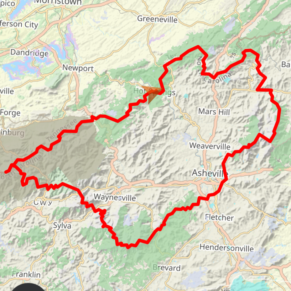
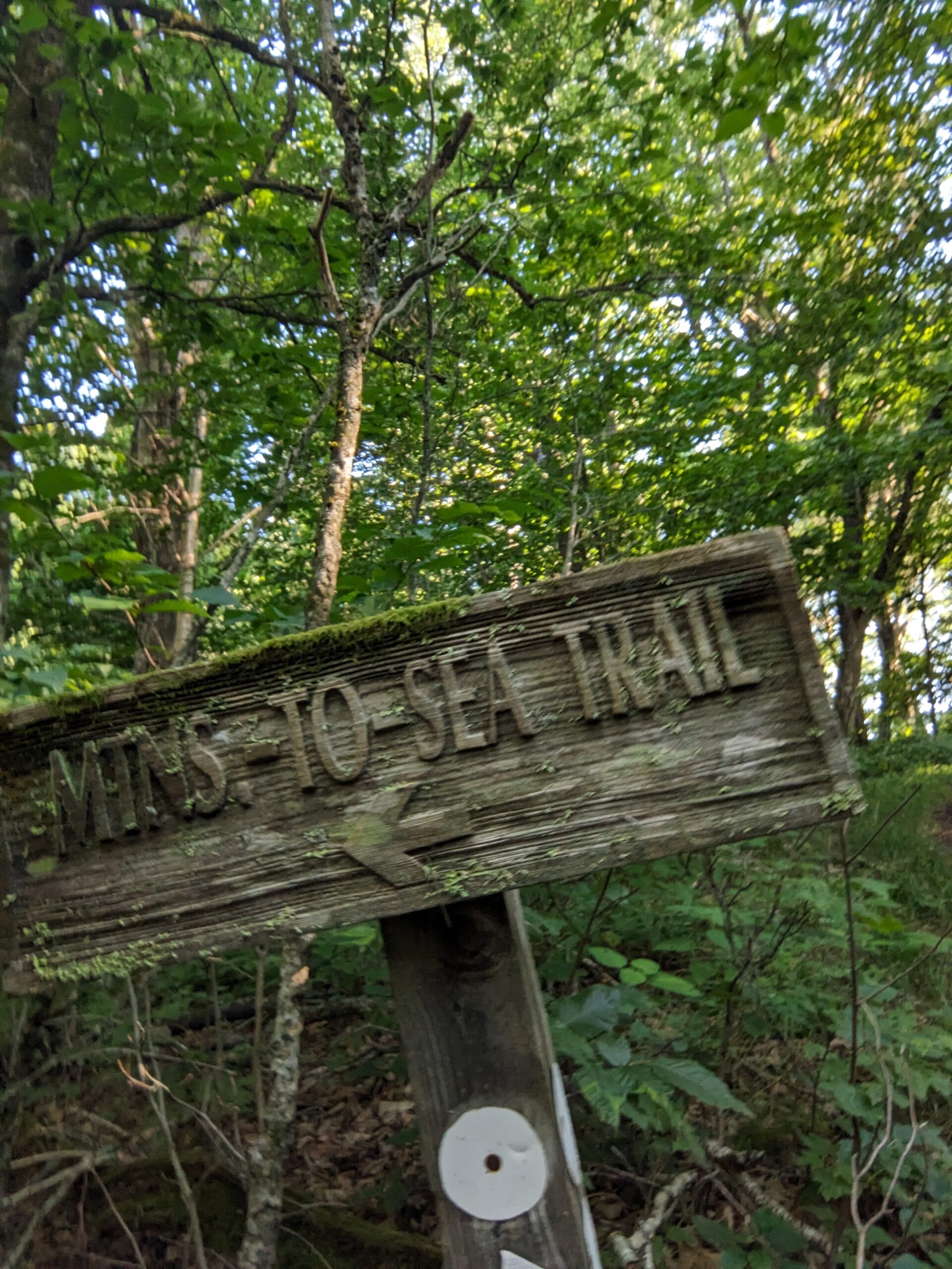
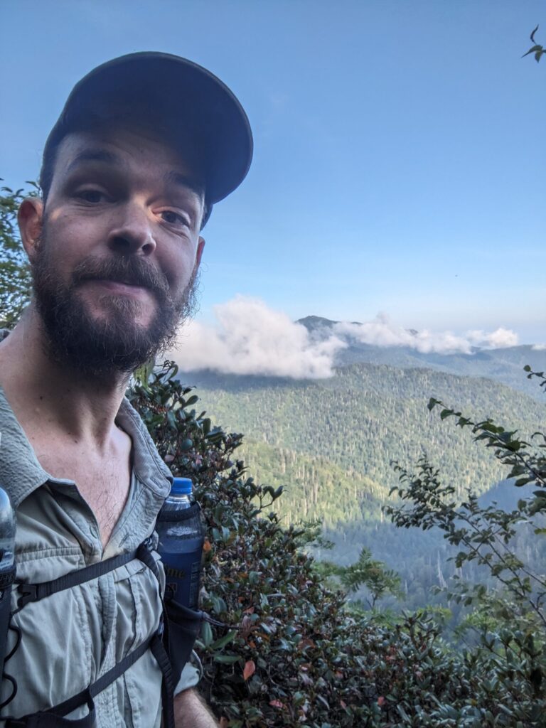
I’ve been busy working out here in Hot Springs, NC, and decided to take 2 weeks off to do some hiking. There are lots of great options around here and I settled on doing the Appalachian High Route. I love a good loop, no shuttles need. The AHR uses large sections of the Appalachian Trail (AT), Mountains-to-Sea Trail (MST), and some other small local trails and road walking to create a ~350 mile loop passing near most of the 6000+ foot peaks east of the Mississippi.
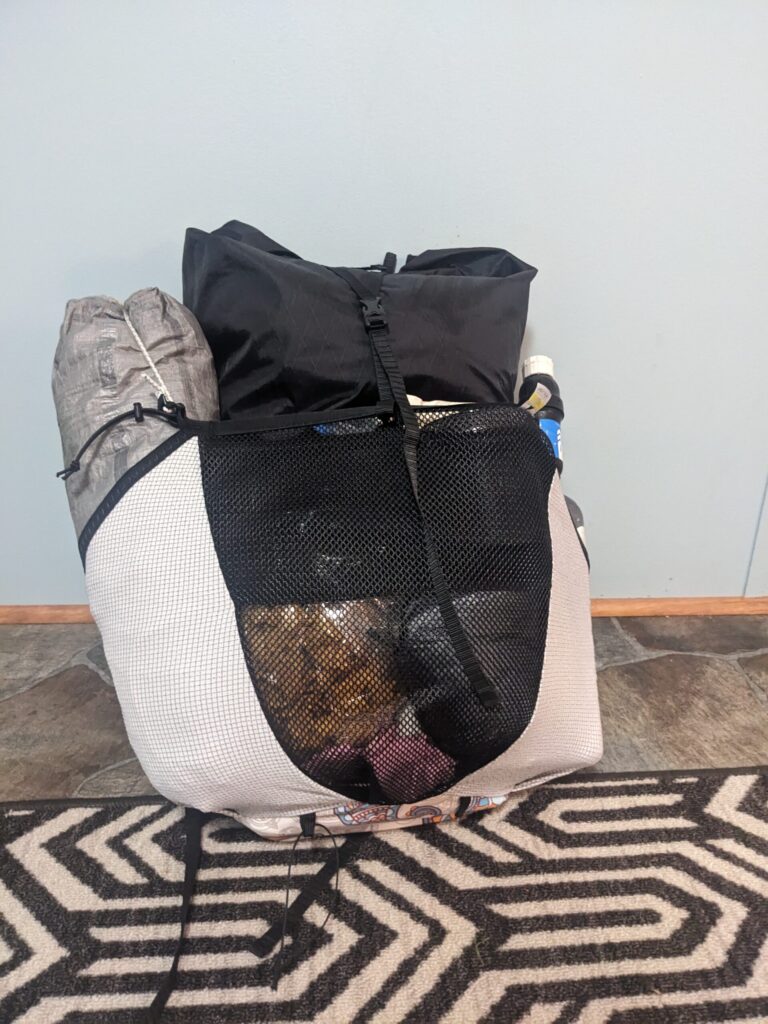
So why an FKT? Well, it had not been done. I’m fast, but not 50-60 miles a day fast, which is required to beat most existing FKTs. I thought it would be a fun challenge to push myself without breaking myself. It also was an excellent way to miss as little work as possible. My plan was to hike 24+ miles per day to get done in around 2 weeks. My body delivered and I was able to do closer to 30 mile days after the first couple and finish in under 13 days.
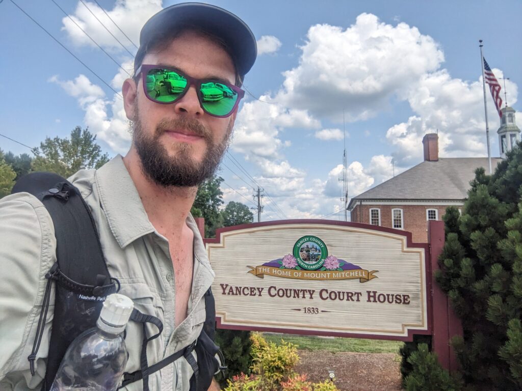
Day #1
I finished packing, double-checked my food, topped off water bottles, and set out just after 9 am. I was up for some big climbs and new trails. The first 8 miles and 2 big climbs were familiar from my day excursions. As I passed Rich Mountain fire tower I entered new territory. Soon I was descending down towards Allen Gap where I’ve dropped off many hikers on shuttles. I began another big climb and as I did the clouds began rolling in and the wind began to blow. While still several hours from sunset it felt as though dusk was here.
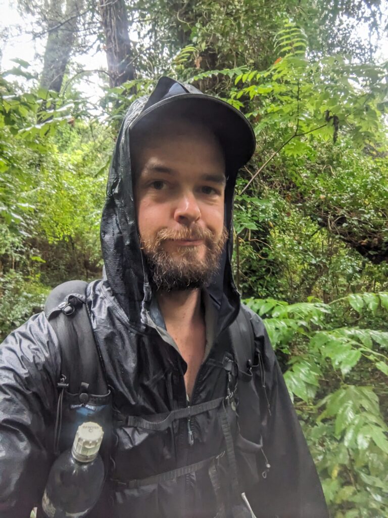
The tree canopy is thick here in the Appalachians. Slowly the rain began to fall, but those same trees were protecting me. The rhododendron tunnels were downright dark. Only a couple miles from camp, the sky opened and the wind unleashed its furry. I could hear limbs cracking, and the rain-soaked me. The temperature was warm so I didn’t bother with a rain jacket. At times the wind blew so hard it peeled back the tree canopy letting in the light of day and brightening the forest.
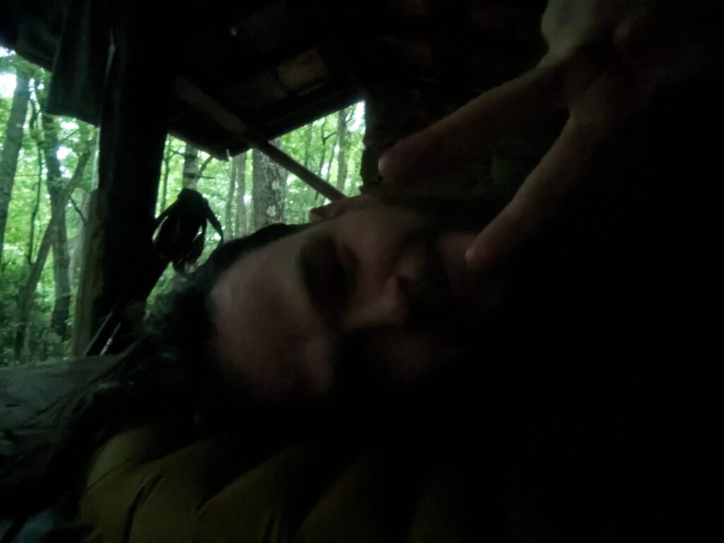
I arrived at camp a little wetter and without limbs falling on me. I ate dinner, hung my food, and settled into the Little Laurel shelter for my first night on the trail. Another hiker arrived shortly after at the shelter for the evening. I’d done 20.16 miles and ~6000ft of elevation gain.
Day #2
I started the day off to find a mouse had climbed the bear hang and chewed through my bear bag to get at my M&Ms…not a great way to start the trail. This bear bag was significantly less bear-proof with a hole in it. But there wasn’t much I could do. I ate breakfast and sauntered on.
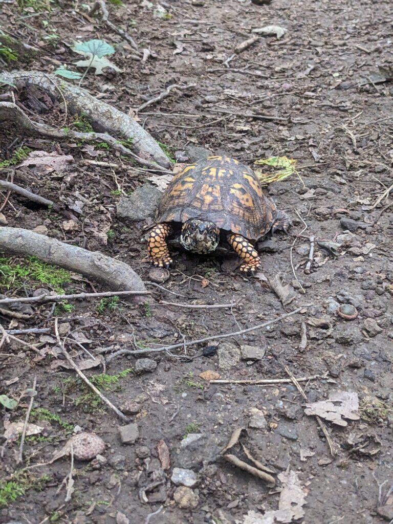
This day stayed mild and cool for the most part. The trail gave me ridgeline views socked in with fog and plenty of green tunnel as the AT does. After lunch, I met a turtle hiking the AT! Finally, I made it to Hogback Ridge shelter for the night and settled in. Several days later I found a mouse had nibbled on my new quilt and stolen some stuffing. Not really sure where it happened, but I suspect it was this shelter as I did shew one mouse away before falling asleep. I had done 23.26 miles and ~5300ft of elevation gain.
Day #3
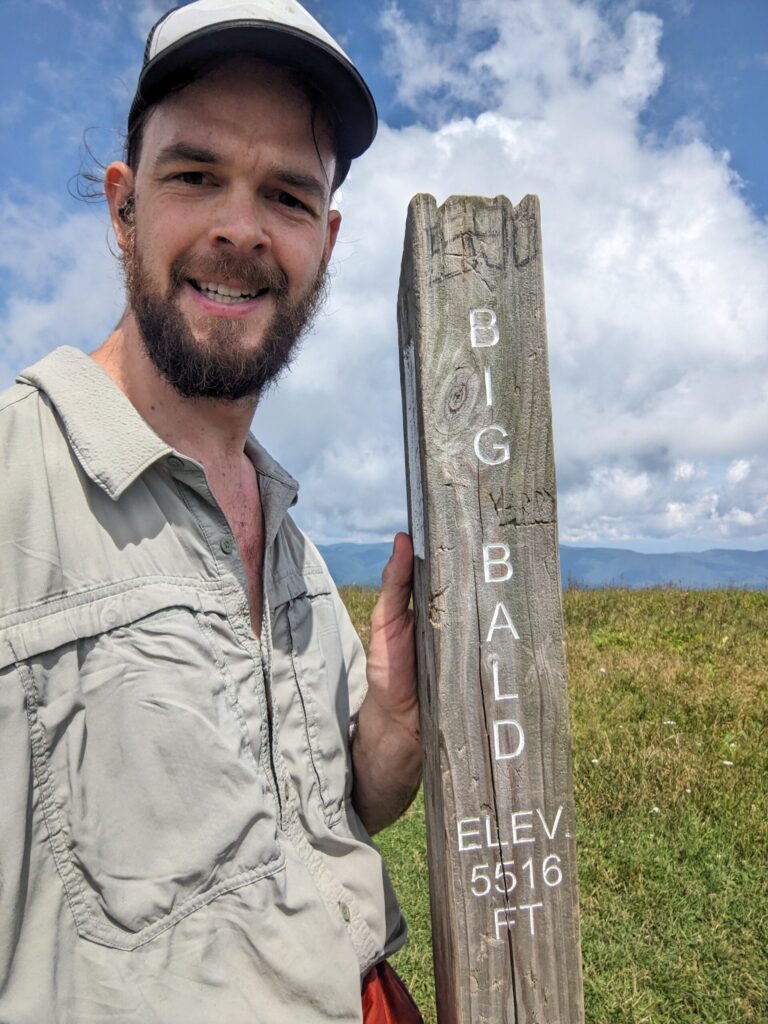
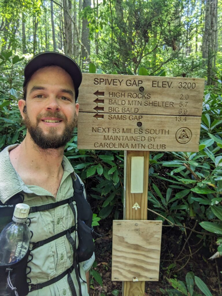
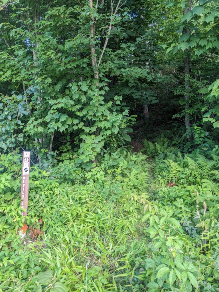
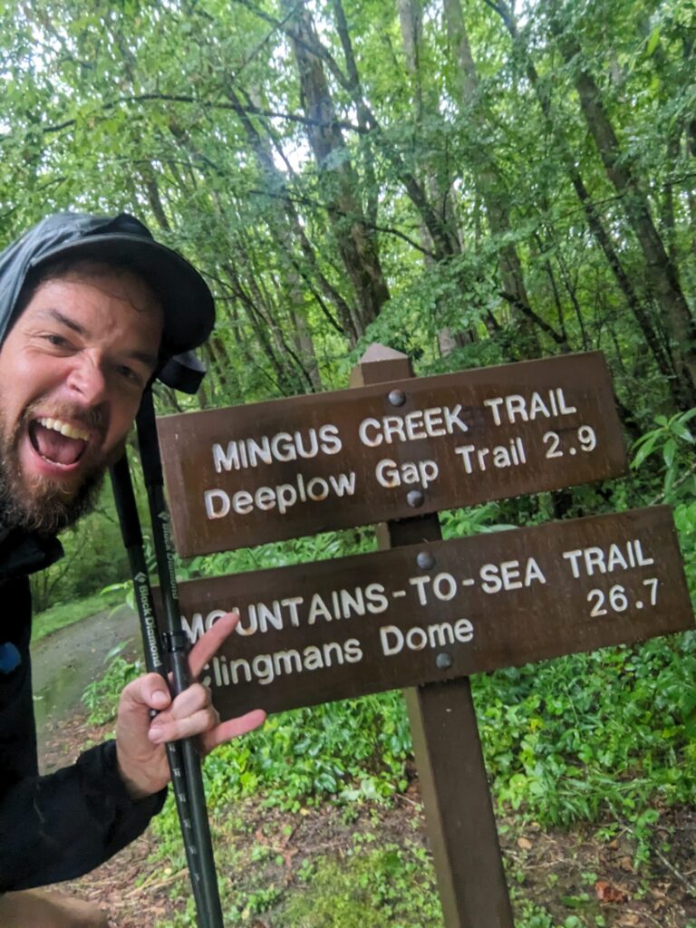
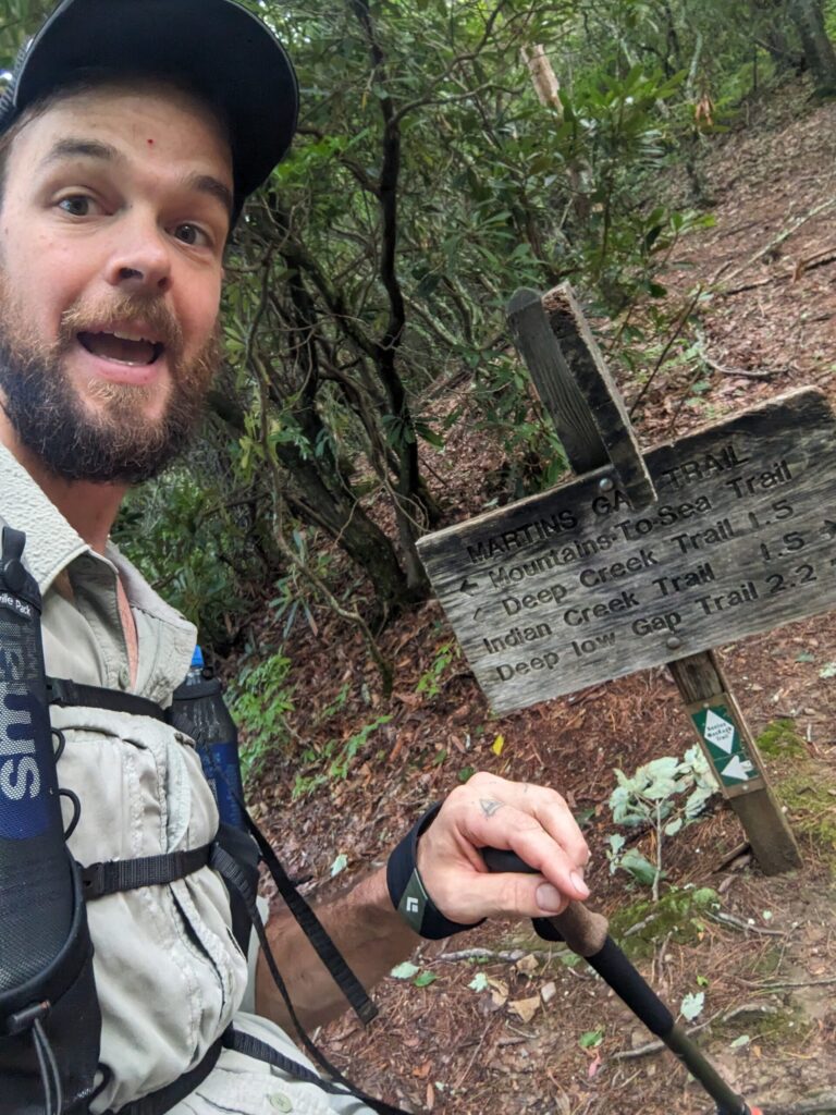
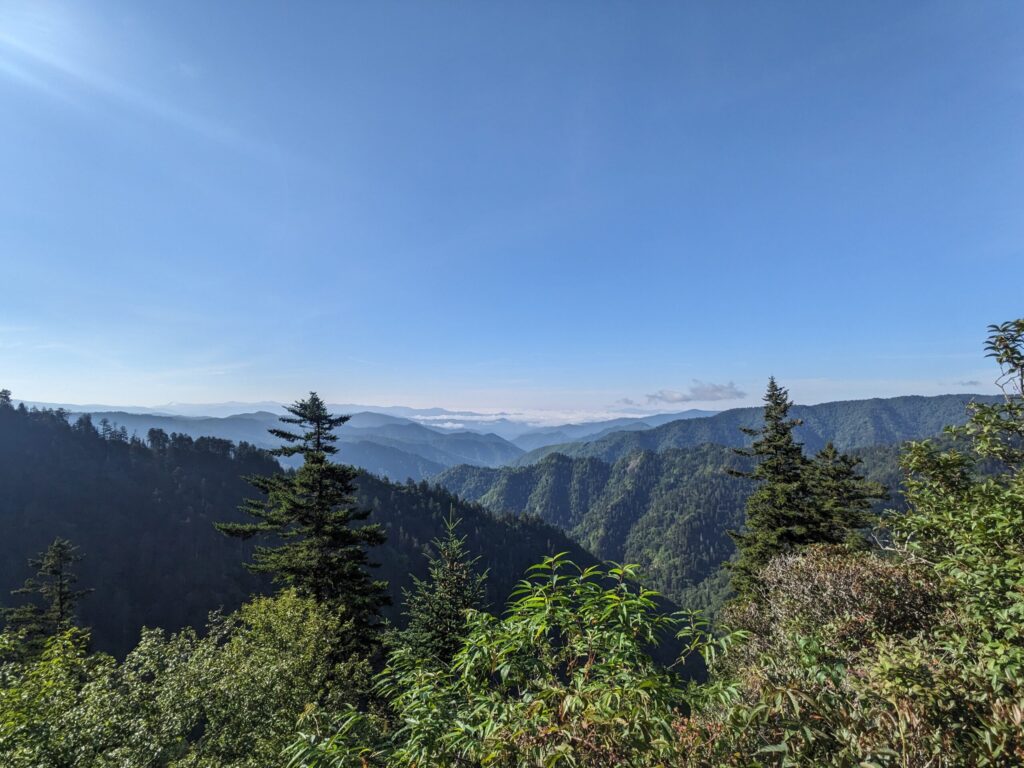
The sun came back and the fog was cleared away. I passed over Big Bald and several other scenic views! Most importantly as I arrived at Devil’s Creek Gap I departed the AT onto the Devil’s Creek Trail. I would be back to the AT but it was time to start the Burnsville Connector section of the AHR.
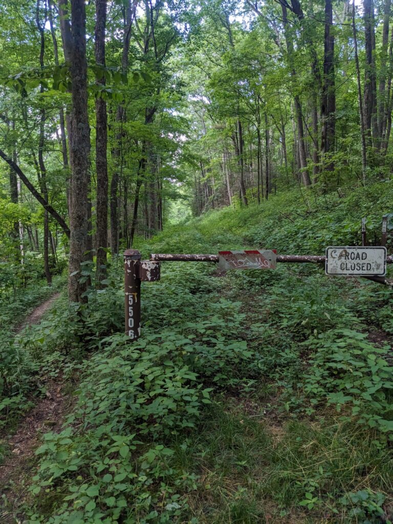
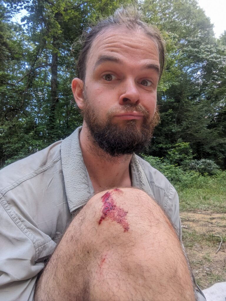
The whole of the Devil’s Creek trail is poorly maintained and rarely used. The first couple miles consist of an old overgrown logging road. I’d heard some horror stories from hikers out here the summer before, like 1 mile in 2 hours fighting through brambles. Seems someone had done some amount of work. I mostly had knee-high grass along this road. As the road ended I turned out of a meadow back into the woods for several miles of trail. Again, this trail was definitely overgrown, but mostly by rhododendron in a couple of places and nothing crazy. The worst part was the rocky and slick tread in many areas. I fell once landing pretty hard on my right knee, it’s still a tad sore as I write this. I made good time and soon found myself on the well-maintained Lost Cove Trail.
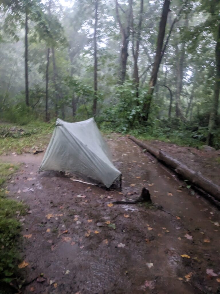
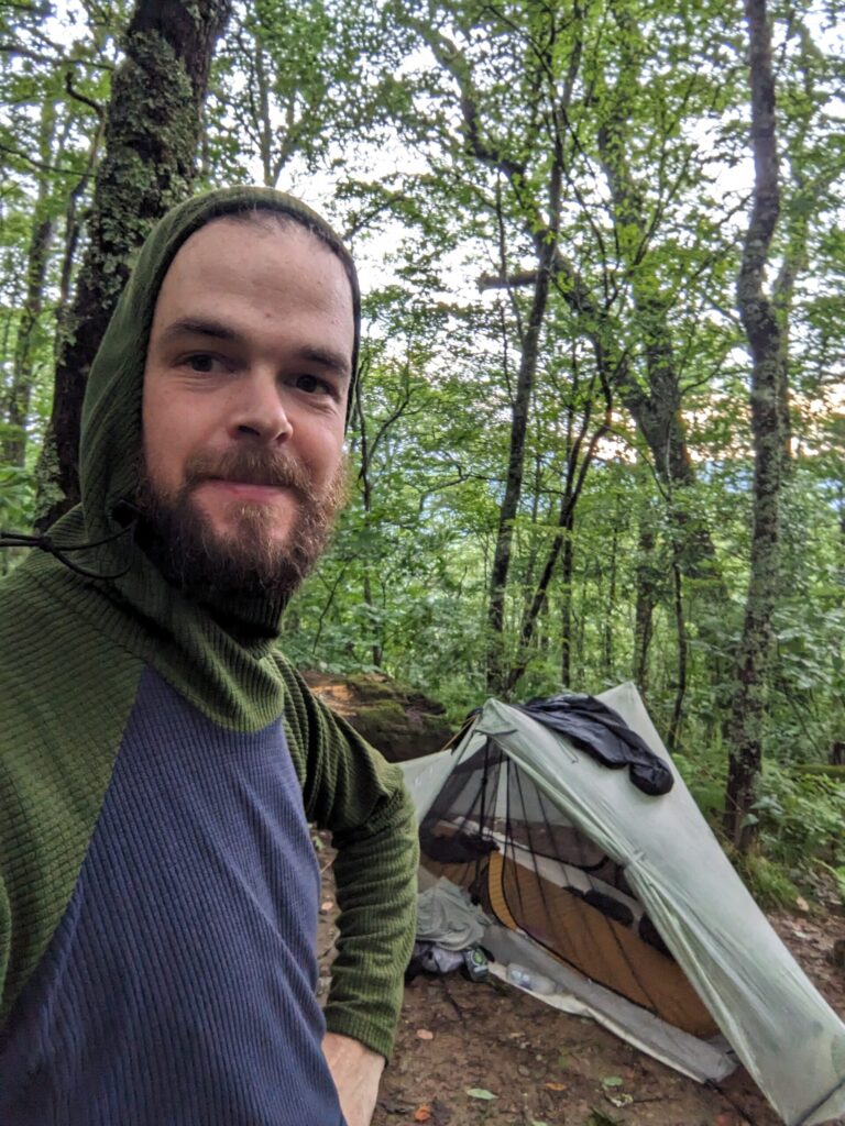
The Lost Cove Trail climbed up and over a ridgeline as the trail began to move south again. After a short descent, I met a gravel Forest Service road that marked the beginning of the road walk into and out of Burnsville. While there’s a lack of good data on camping in this section I hoped to find something along this FS road, I knew once I left the USFS land there would be no options for 20+ miles. I found a site and set up my tent for the first time on the trail. I’d hiked 24 miles and climbed ~5100ft.
Day #4
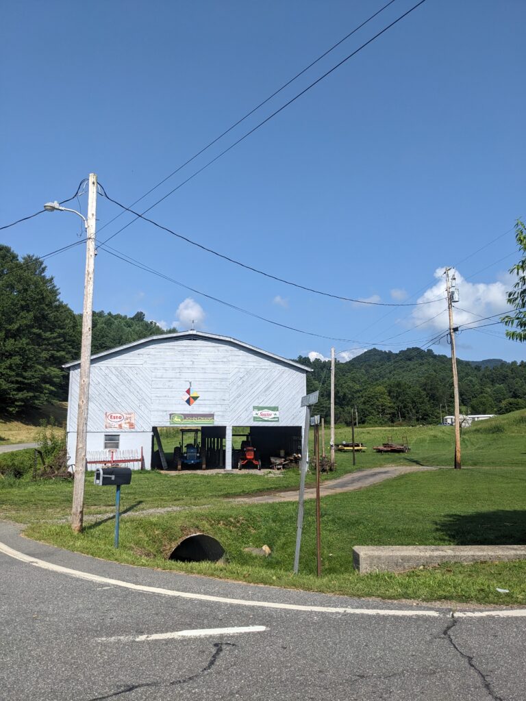
Time to road walk…but I get town food so that’s a plus. I camped about .9 from the asphalt roads that’d take me all the way to Burnsville and the Black Mountain Crest Trail. There were actually 2 more decent spots past my spot, if I’d only known. I hit the pavement and kept my ears tuned for cars as I walked along the edge of the narrow and twisty country roads. It was a beautiful country and I lost track of the number of country churches I saw. That said I think these could be good options for camping and water in the future if someone contacted them to see if they’d allow hikers on their property. I know many churches do this on trails with road walks like the ECT.
Just after lunch I rolled into Pizza Hut on the edge of Burnsville and began charging my batteries and eating a huge salad and medium pizza. I finally drug myself out of the AC to walk a couple of miles up the trail through town to the Ingles for a resupply. After a light resupply that took way too long, cause I’m bad at them still. I headed out of town with enough food to get to Asheville and a 6″ sub for dinner.
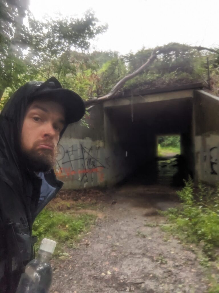
As I walked out of town I missed one turn off the main road but quickly realized my mistake. I doubled back to follow the other road. This side road later rejoined the main road but it was a brief gravel respite from the asphalt highway. Several miles later I finally turned off the road for the final time and started up the Black Mountain Crest Trail.
I had done this trail a month or so before and marked much of the camping and water on this trail (thanks past self). Looking at my watch I knew I should have time to make it 7 or so miles up to the last campsite before they close it due to the delicate ecosystem on the crest. The BMCT is a favorite of mine, it climbs hard and fast but up onto the ridge. Once up there it reminds me of home with the prolific conifer forests and rocky terrain. I love it. I was even able to take a dip in the creek on the way up for a little bath and cool off. I made it to camp just as the sun set having hiked 31 miles and climbed ~5900ft.

Day #5
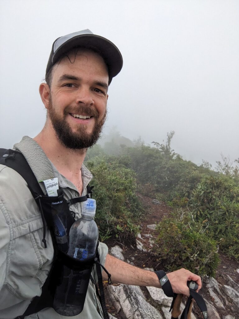
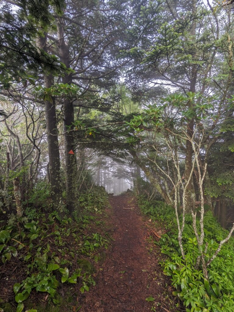
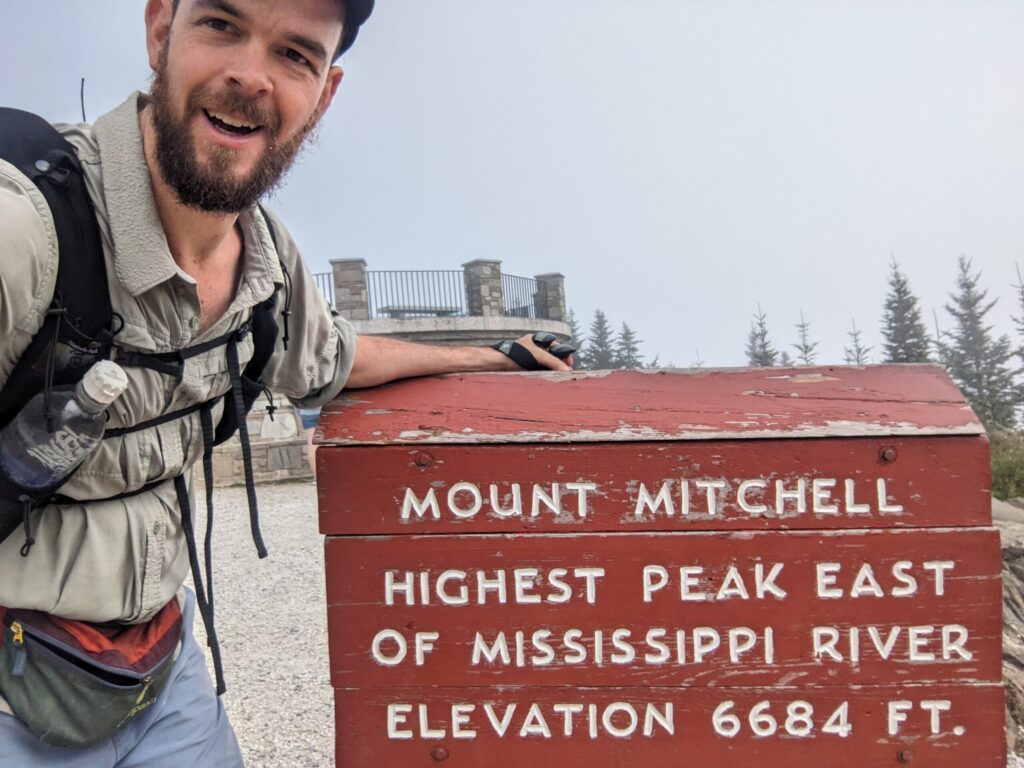
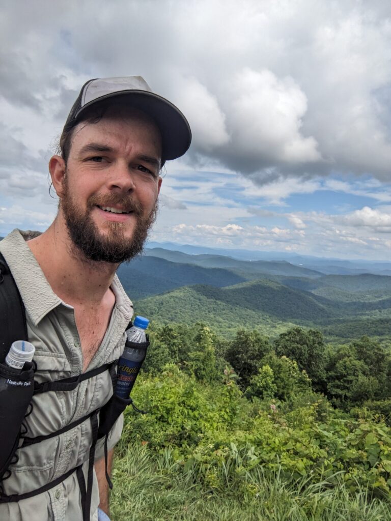
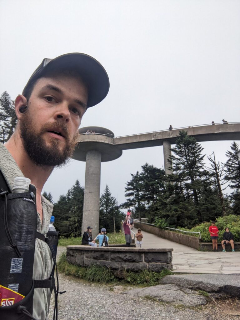
I woke up and got moving with some final climbs up to Mount Mitchel! Mitchel is the highest point east of the Mississippi. After some snacks from the snack shack and charging at the bathrooms I summited before getting on the MST! This was a huge relief. The Burnsville Connector section was what I was most worried about with its overgrown trails and dicey road walks. I was excited to see what the MST had in store. Turns out it had very limited camping, big climbs, and long miles in store.
In regards to navigation, this day was the only time maps seemed to significantly disagree with reality. Just east of Bullhead Gap on the MST, Heading west I had just crossed the BRP, and was following what looked like an old maintenance road. At a switchback, there was a small shack and the road turned. I followed this for a bit before losing the blazes. I checked FarOut and the AHR route Meg Landymore and I worked on before starting our FKT attempts. According to the FarOut directions, there was a small trail near this hairpin I was to follow, our GPS track showed deviating from the road based on the trail Gaia mapped out as well. I backtracked up the hill and looked around and could find no such trail. What I could CLEARLY see was the round white blazes of the MST leading down the road. I returned to my original route and soon picked up the blazes and GPS route. I did see a small side trail join in that may have been the one referred to. I’m not sure what’s “correct” but ground truth seems to suggest Gaia/FarOut are wrong.
The rest of this day moved slowly and I finally made it to my stealth camp after dark. Deep in the woods, I wasn’t worried about being caught. I’d hiked 28 miles and done ~6200ft of elevation gain.
Day #6
I woke early to the pouring rain. I rolled over and when my alarm finally went off I ignored it a bit longer. I finally got up with water splashing my face. Looking around I realized my tent was poorly pitched in a low point and sitting in an inch or so of water. The tent was keeping that water out but the raid was splashing it under the fly and through the mesh onto my head and feet. Like it or not, I needed to get moving and out of this puddle.
I packed up, scarfed some food, and was on the trail with most everything wet. I had a couple obstacles: there was nowhere to camp for well over 30 miles, I needed some more charge in my battery before leaving Asheville, and most everything I had was wet, stinky, and muddy. I needed more than just a resupply in Asheville. When I made it to reception and cover at the Folk Art Center I did some planning. With a lack of decent options I decided to call it a short-ish day and end at my resupply (Walmart) then Uber to a hotel not too far from the trail to clean up, charge, and do laundry.
Turns out they didn’t have laundry, despite their Google listing and the receptionist saying they did…I can’t even. Instead, I was stuck doing sink laundry and trying to dry things in a humid climate over the hotel HVAC unit. Everything was still damp in the morning. At least it was better than when it started. I did 17.5 miles and ~2200ft of elevation, by far my easiest day on the trail.
Day #7
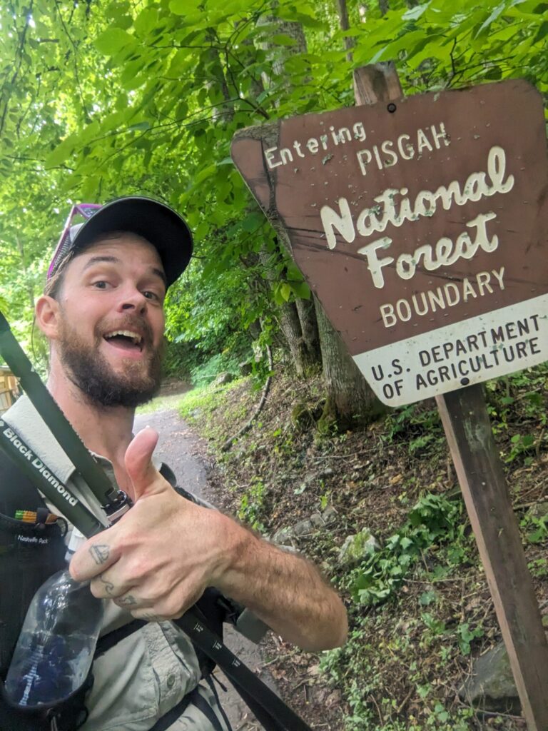
I got an Uber back to the trail after a lovely continental breakfast and started hiking feeling refreshed. The day stayed cool and damp providing some good miles. I climbed up to the Pisgah Inn where I grabbed a small resupply, some more power, and got some cold snacks. I descended off the ridge to one of the few designated sites along this section of the MST. I did about 27 miles and ~6000ft of elevation.
Day #8
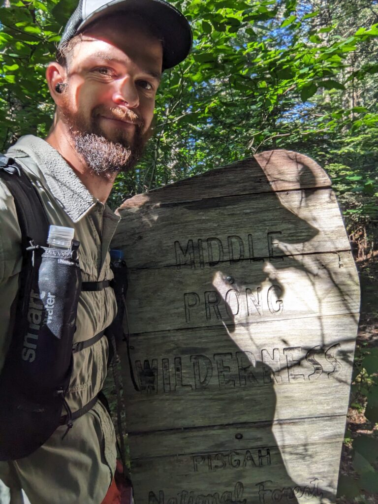
I once again knew I had a good site at the end of the day, so I struck camp and headed out. After a brief scare with a bee sting, (I never had a bad reaction till I got stung 5 times a week before leaving on this trip), luckily no such issues this time around. I passed some cool waterfalls I forgot to take pictures of and passed through the only wilderness area on the AHR. In total, I did 28.9 miles and ~5500ft of elevation.
Day #9
This day brought more of the same. With a lack of any marked camping, I ended up camping on the green lawn of the Waterrock Knob Parking Lot and Visitor Center. I hiked 31.5 miles and climbed ~5600ft.
Day #10
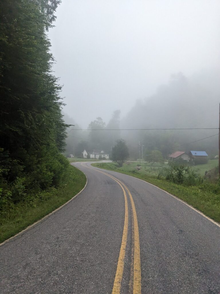
Changes were coming. I’d done some research the night before and planned my next 4 days. If I could pull consistent 30+ mile days over some grueling elevation I’d finish in under 13 days. My goal was a very loose “two weeks” so this possibility was huge. The thing was, I had to commit. I would soon be entering the Smokies, which required grabbing permits for the sites/shelters I wanted to stay at and sticking to my itinerary. My body was starting to tire but I was feeling good and took on the challenge. Step #1, beat the incoming storm on my way into Cherokee, NC.
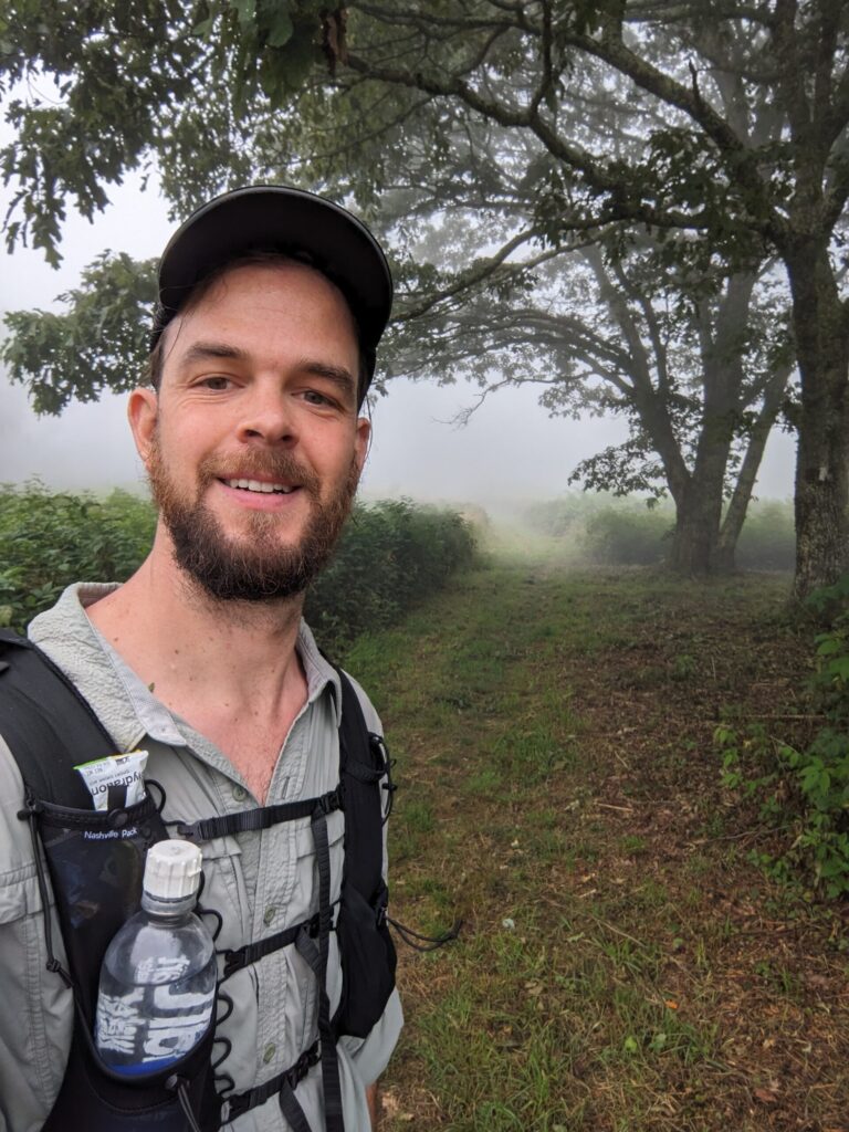
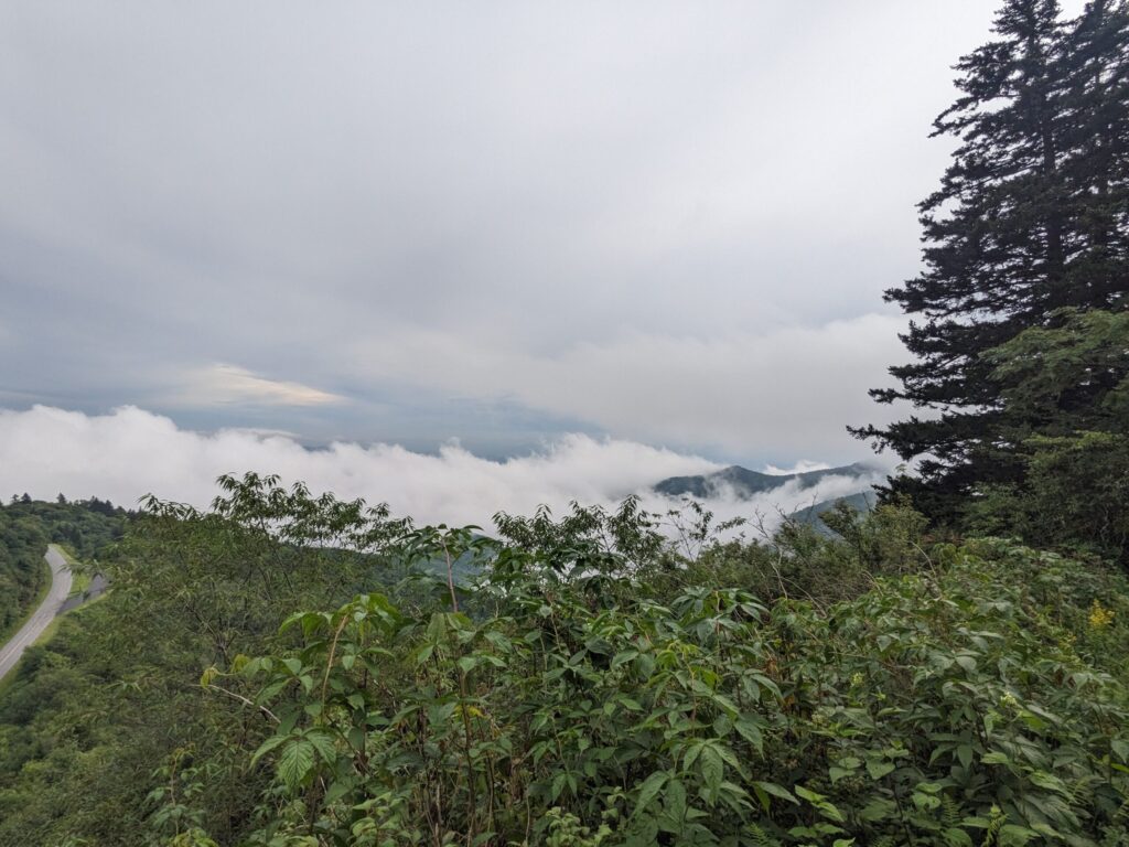
I had some early morning walks in some spooky fog before road walking on the Blue Ridge Parkway into Cherokee. I made it to the western end of the BRP just after lunch and after a short and unsuccessful attempt to hitchhike into Cherokee, I walked the mile into town along the river.
I grabbed pizza and kept half to pack out for dinner that night. I swung through the gas station which had a surprisingly robust snack selection and resupply option. I had yet to find WiFi and needed to charge more so I headed over for ice cream and finally found WiFi around the corner at the sub shop. I did some quick internet things and got my Smokies permit just in time for the thunder to roll and the skies to open.
I walked out of Cherokee with the weather forecast suggesting it might rain 1″ in the next hour. Yes, this is August, this is not the dry season here in the temperate rain forest that is the southern Appalachian Mountains.
After about an hour the rain slowed but feeling refreshed from the pizza and ice cream I set a blistering 18’35” pace up the 3k foot climb to my campsite. At the point I finally removed my rain coat on the climb, I was more wet from sweat than I would have been from rain. The day came in at 27 miles and ~4600ft of climbing. Not including the 3 miles to town and back.
Day #11
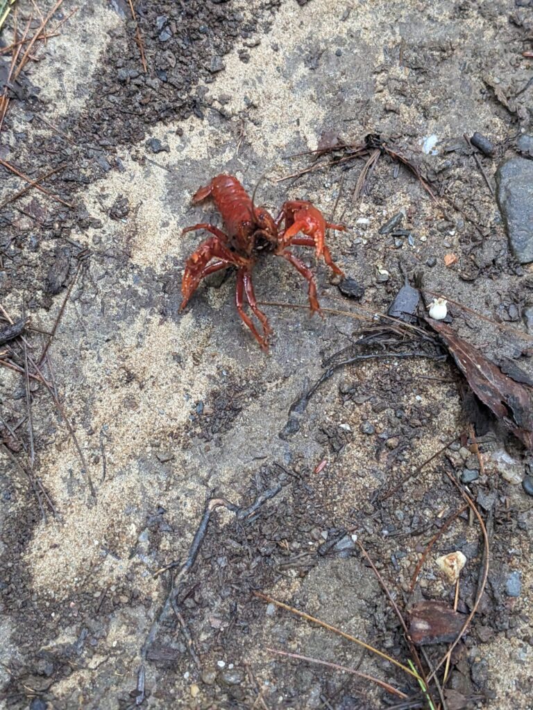
The day started with ~3k feet of descent. Along the river in the valley, I ran into an unexpected trail adversary, the dreaded crawdad! After a photo shoot, I continued up the somewhat overgrown trail before it climbed what I’d just lost plus another couple thousand back up up to Clingman’s Dome (3rd highest peak east of the Mississippi). I was very tired after this and yet I had another 8 miles before making it to my shelter for the night at Icewater Springs.
I arrived with some daylight to spare at Icewater Springs and had some company for the evening in two college kids out on their first backpacking trip. They made many missteps, as expected, but they were in good spirits and were happy to hear tales from an old timer like me. They’ll go far. Most importantly they fed me an extra dinner of couscous with extra olive oil and had chocolate and marshmallows to wash it down. I’d burned more calories than I packed that day and was thankful for the extra food. Despite this boost I still ate the 3 days of food I carried out of Cherokee in two. Turns out I would indeed need to resupply at Standing Bear Farm Hostel.
All said, I had just completed my biggest day yet on trail having traveled 31.4 miles and climbed ~7,300ft. I was tired and my body was starting to feel the miles, but I could do the next 2 days.
Day #12
I’d only been here in the Smokies for 2 days but I had covered over 50 miles of trail and I only had another 30 or so between me and a warm bed at Standing Bear Farm Hostel, the triumphant end of the Smokies on the AT. This day wasn’t any longer and didn’t have an insane amount of climbing, just the usual ~5200ft or so. But it did have 10,000ft of descent.
My knees felt it, my trekking poles did work to protect them. The morning was beautiful as always in the Smokies, I love the high coniferous ridgelines in this section. Definitely, my favorite section in the Smokies. I arrived at Standing Bear and made myself a pizza and drank a cold cider having traveled 31.2 miles.
The Final Hours
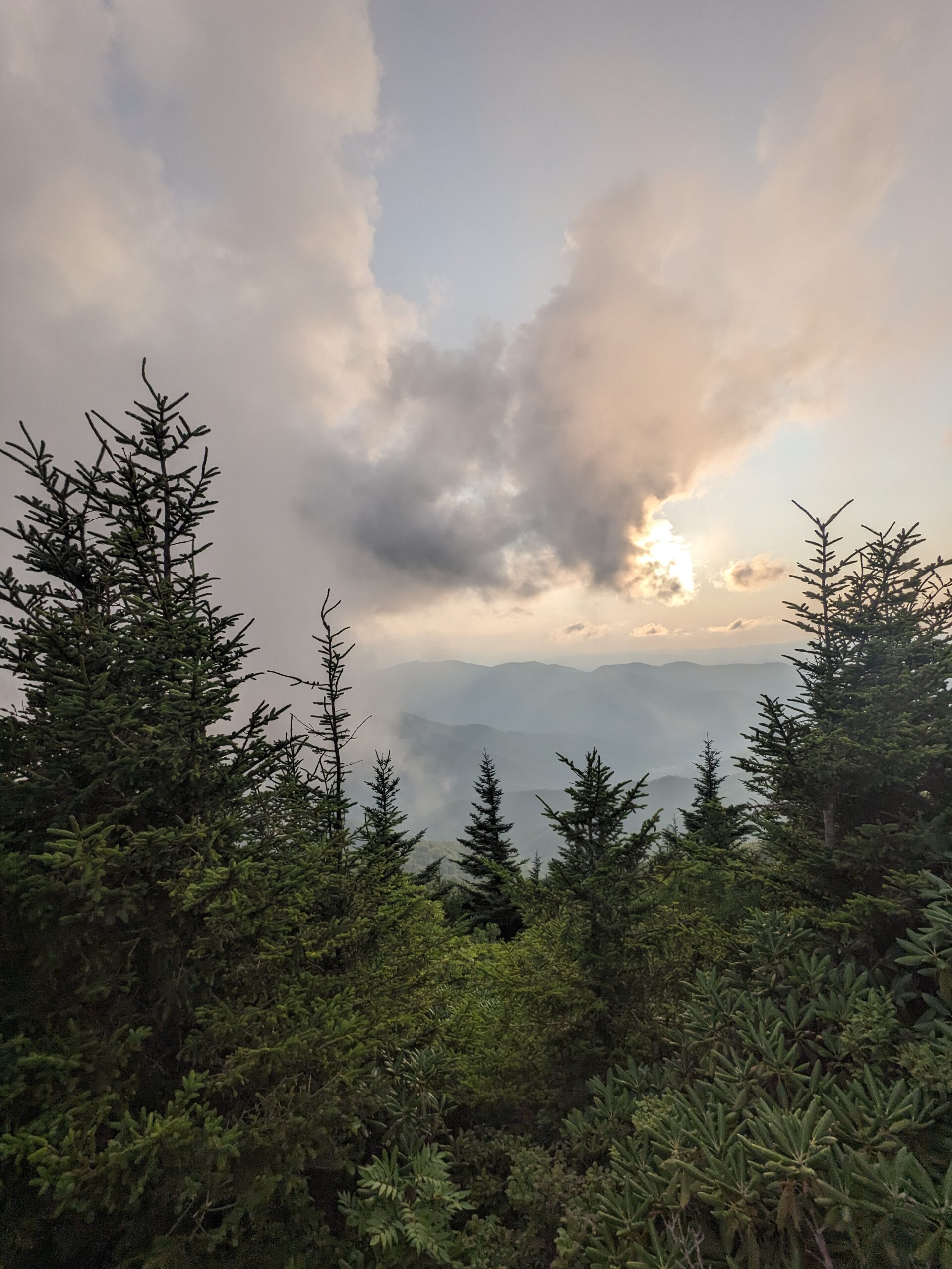
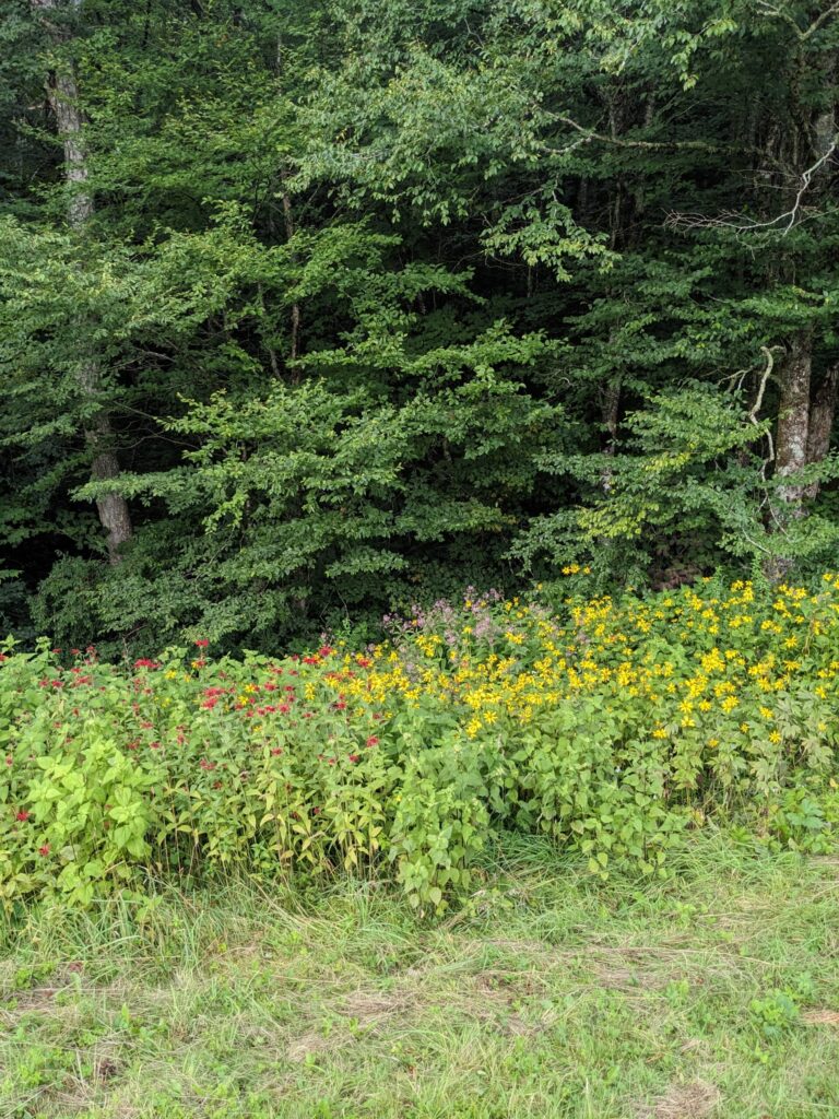
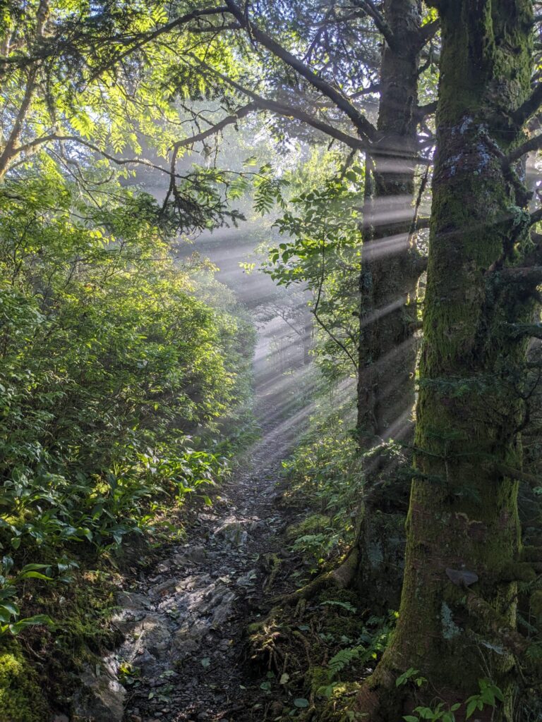
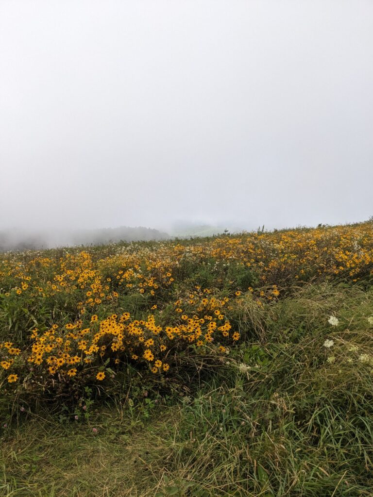
With a storm coming in and a bed and warm oatmeal breakfast beckoning, I spent the night at Standing Bear before heading out early into the rain. Within a couple of hours the rain had cleared; but, given all the recent storms, the trail had blow downs all the way to Hot Springs. Coming over Max Patch the weather was almost cooperating; the wind blew hard swirling the fog so at times I was socked in, at others, I could see patches of blue sky and distant green hills. I was always surrounded by fields of beautiful wildflowers!
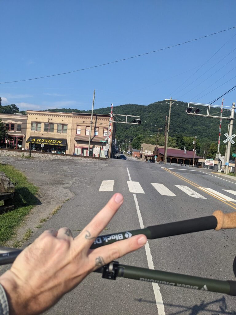
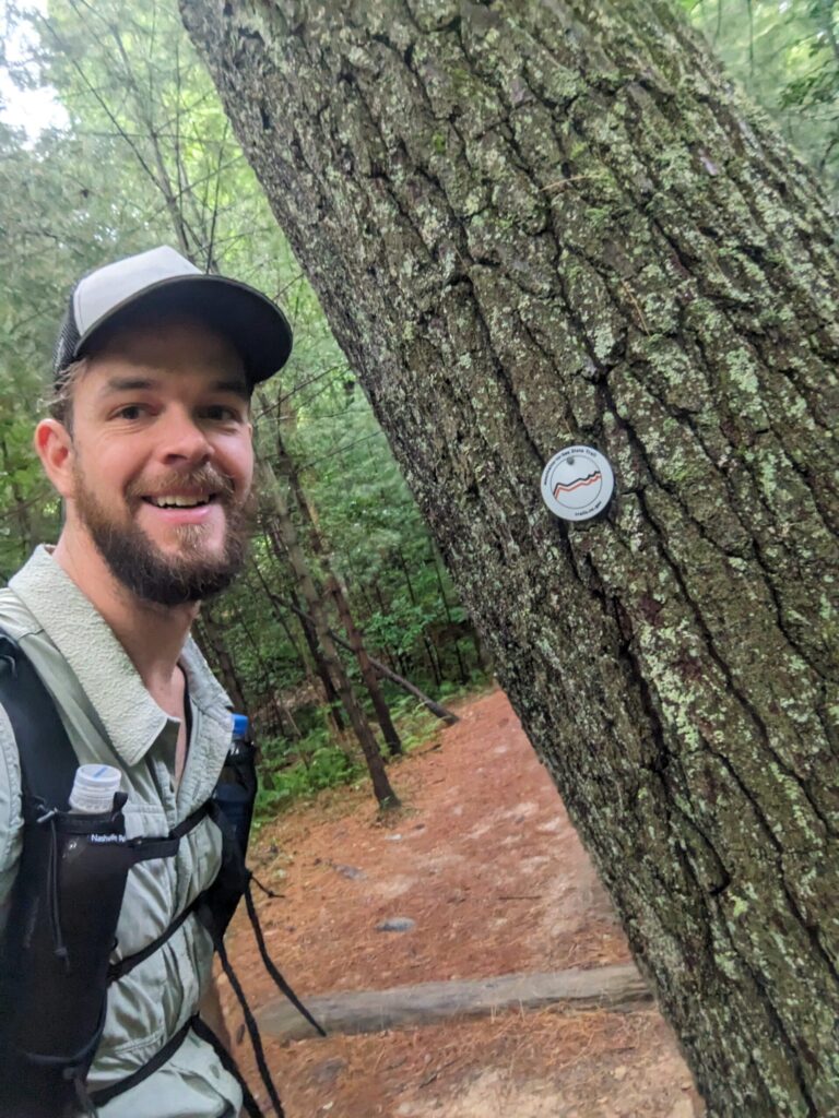
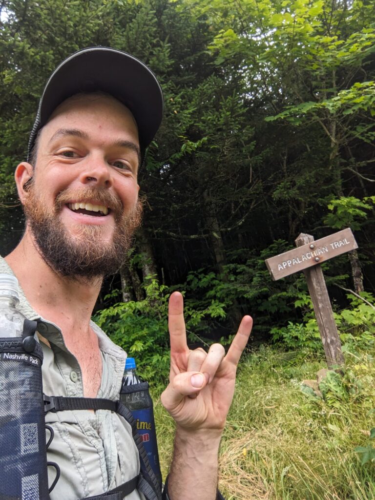
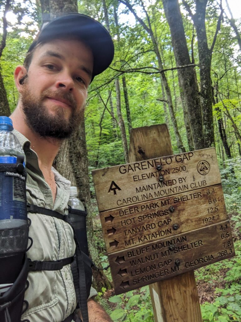
This day was long and hard with constant climbs. The ever-present creak of my joints and moan of my tired muscles reminded me this hike was at a close, but I was doing the biggest day yet. I walked into Hot Springs and stood on that very same AT symbol at 7:40 pm. I had started at roughly 12d 10h 38m earlier. I finished that day having covered 33.7 miles and climbing over 8,200 feet.
Trail Notes
This is a great route with a wide variety of terrain. While the road walk isn’t my favorite it goes through some beautiful country with cool old buildings and picturesque farms. I had some minor issues with the trail being poorly maintained or overgrown, but by and large, there was well-maintained trail with sections having been recently worked on. Even the Devil’s Creek Trail, which I heard horror stories about from folks who hiked last summer, had clearly been worked on in the intervening time. So thanks to all the trail workers out there!
The only real challenge was the lack of camping at various points. most notably, along the MST near the Blue Ridge Parkway (which is basically all of it). I clearly made it work, but it made for some shorter than necessary days cause I couldn’t trust I’d find a site in another couple miles if I kept going. The Burnsville Connector also is a bit rough. In the USFS sections there are lots of camping options, all though they are un-marked. It’s really only the road walk that causes an issue if you don’t want to do it all in one day. Though I will note, there are many small country churches along this section, calling ahead to one or more may mean a lovely campsite with the potential of running water or a bathroom.
Wrap
Thanks to all my friends, family, and co-workers who made this possible. Thanks for your support and encouragement. Thanks to Enlightened Equipment and Nashville Packs for going out of their way to get me some great gear on-time for this trip. Also, thanks to my body for putting up with me throwing it into this chaotic journey through the woods with little notice.